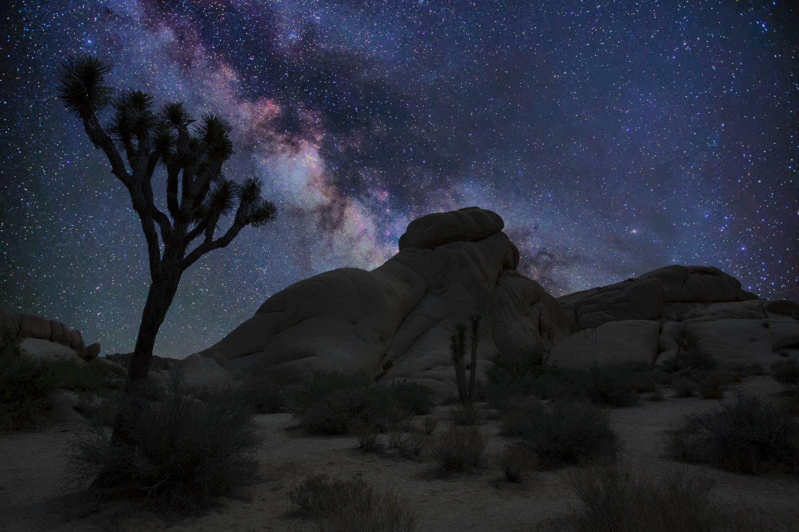
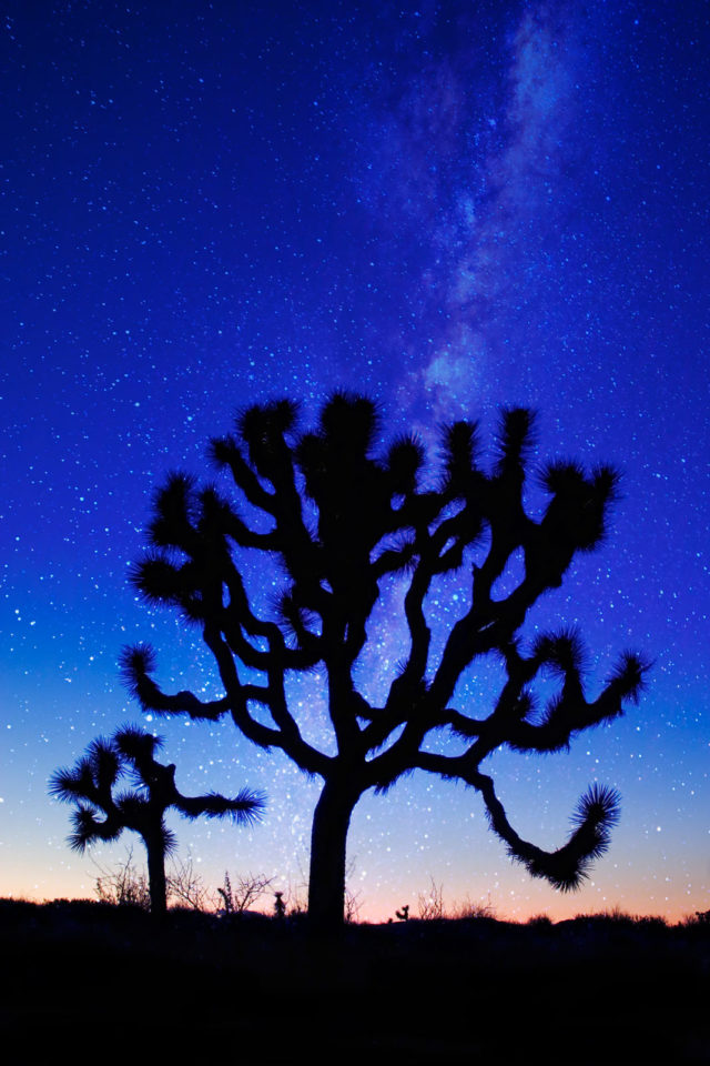
With Flintstone boulders and cartoon-like trees, the best hikes in Joshua Tree National Park are going to have you feeling like you’re on the set of a Hollywood movie. The park is named after the unusual Joshua Tree. When Mormon immigrants crossed the desert, they saw the trees limbs outstretched welcoming them to the land guiding them westward. So, they named the tree after the biblical figure, Joshua.
Table of Contents
The Best Joshua Tree Hiking Trails
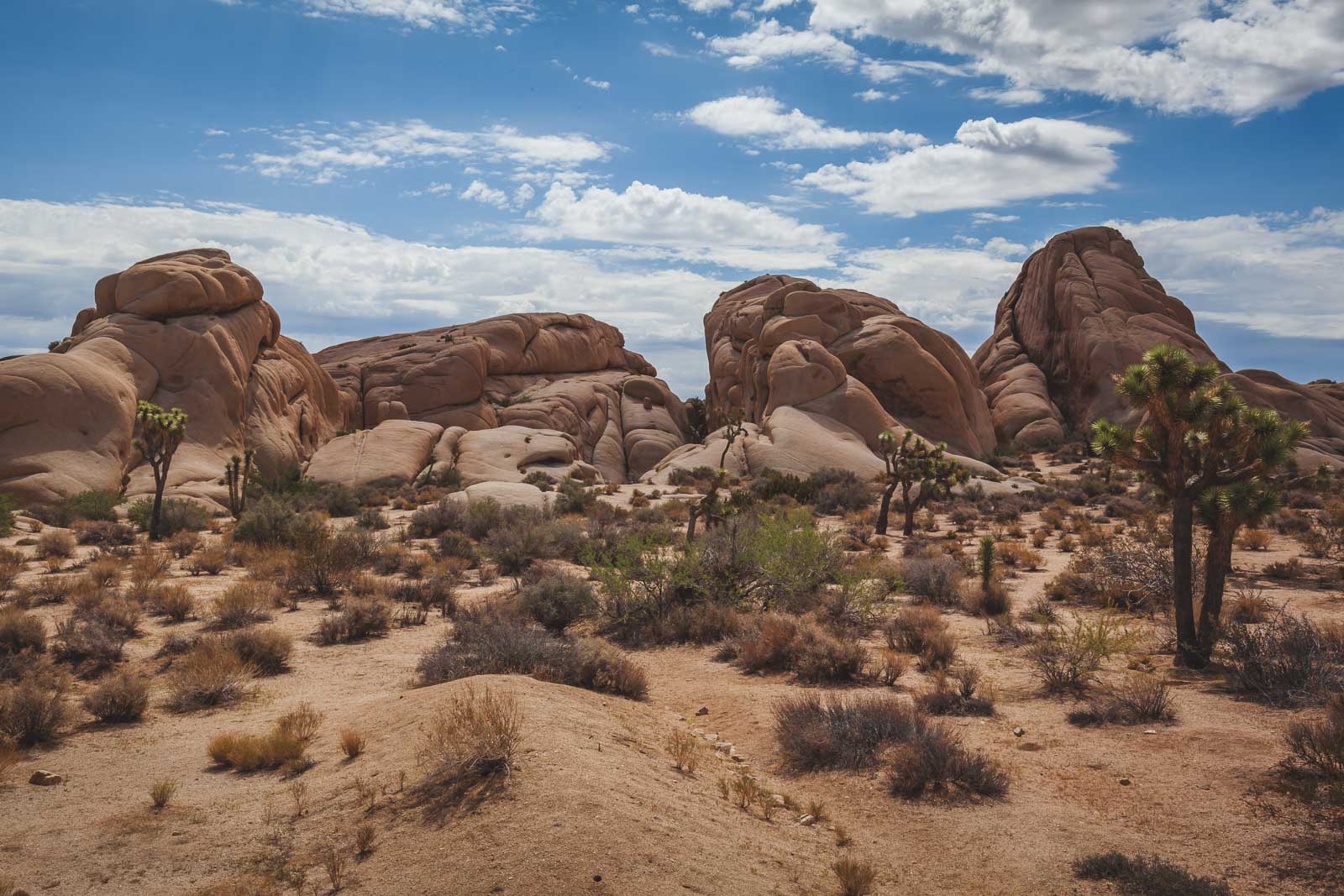
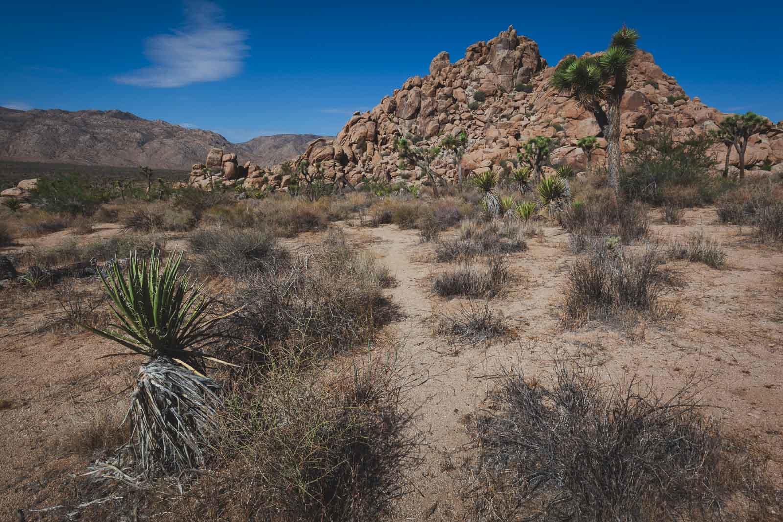
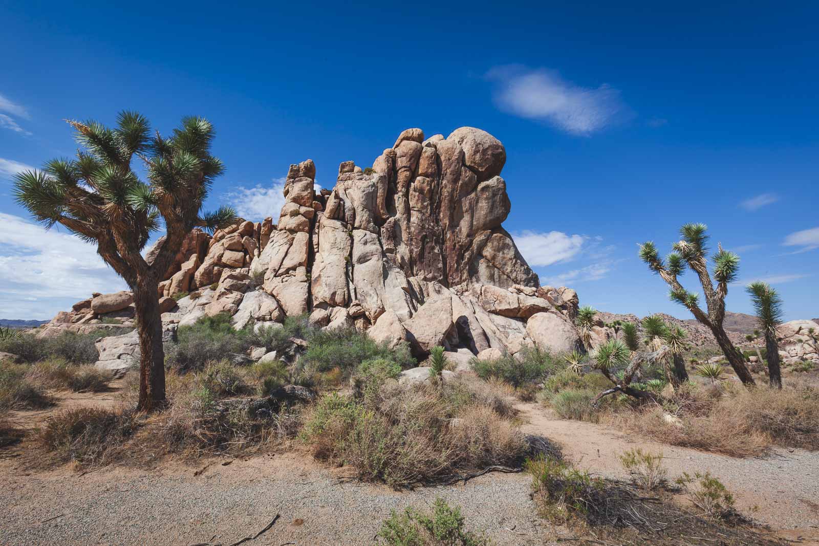
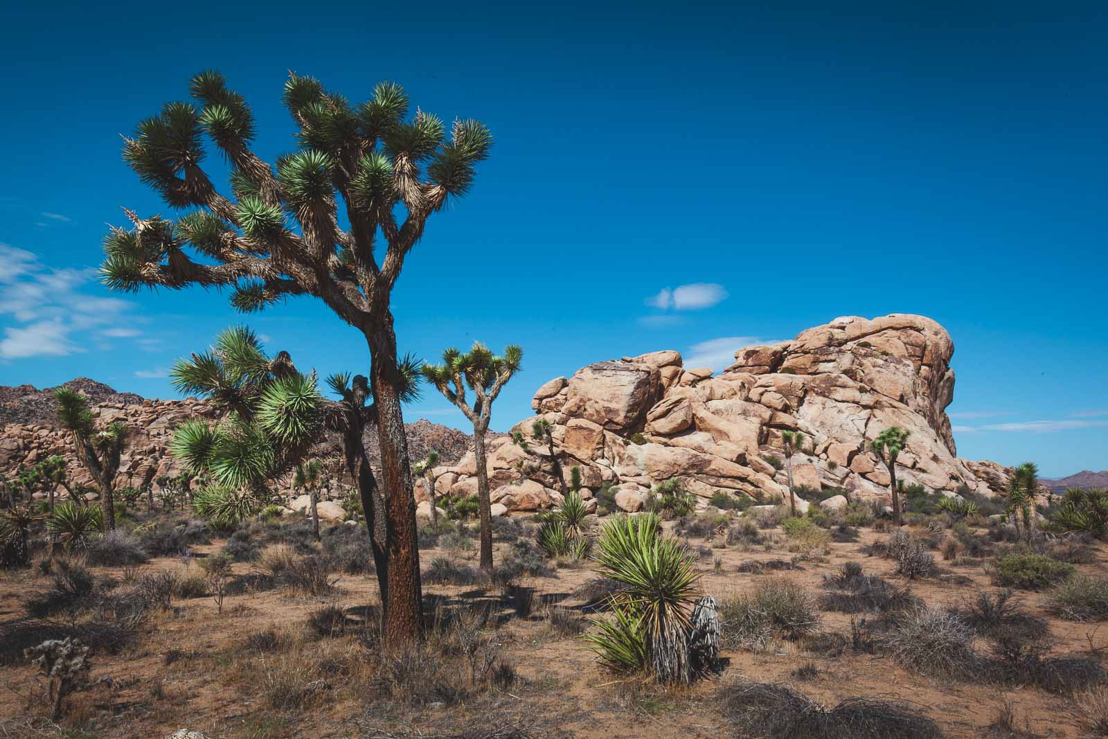
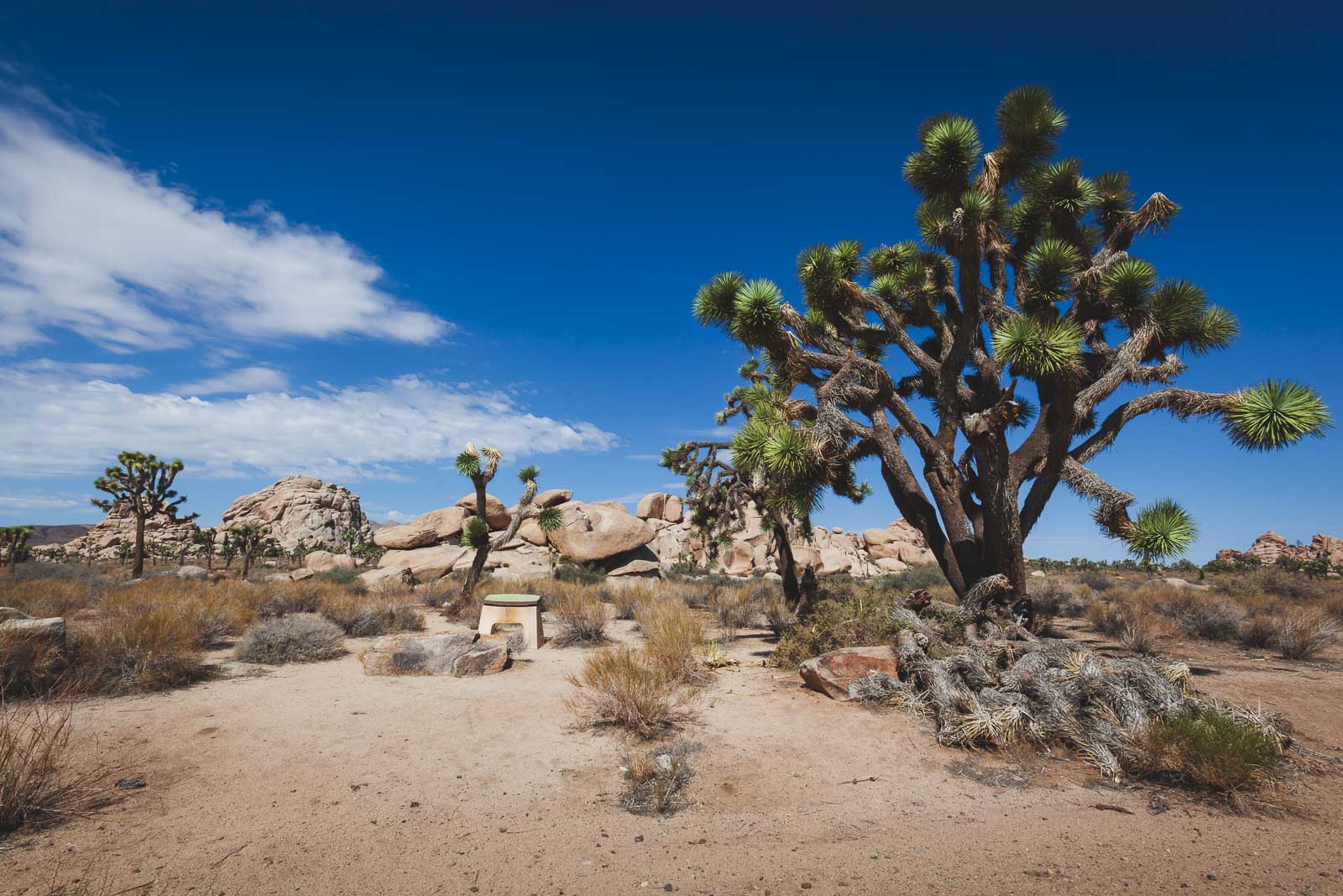
Joshua trees look like something you would’ve drawn in primary school. And what’s even more unusual is that it’s not even a tree – it’s a plant, they are part of the Agave family. Joshua Tree hikes are rocky, dotted with Joshua Trees, and full of adventure.
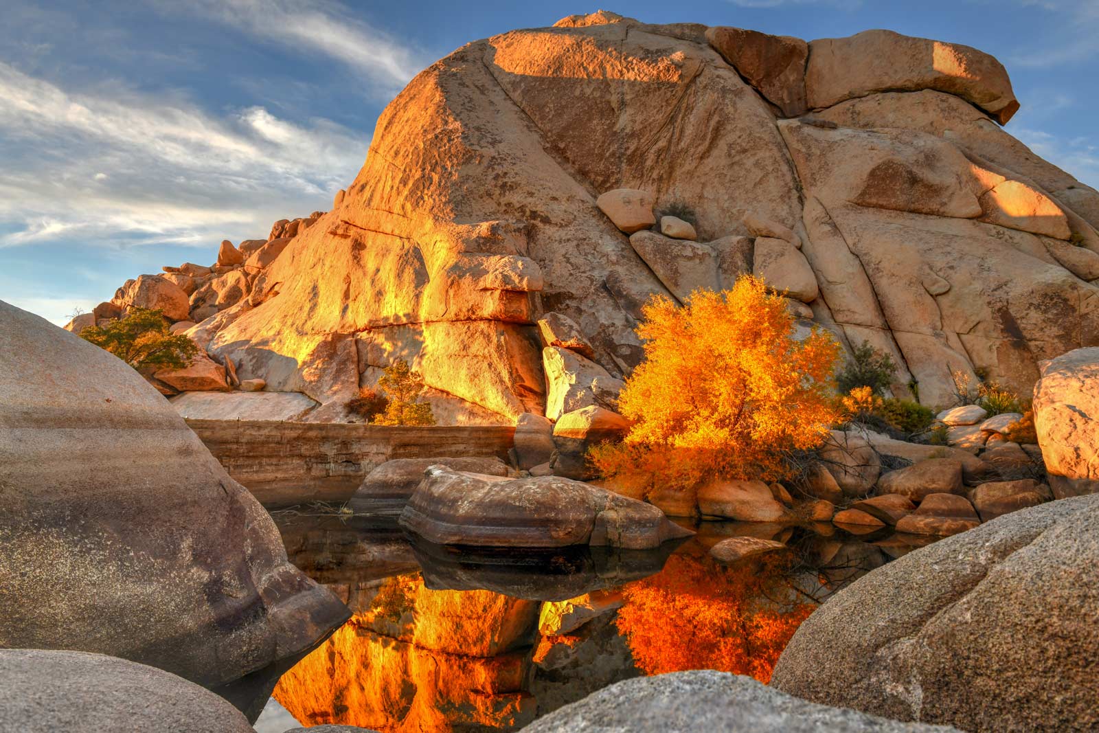
When hiking in Joshua Tree National Park, you have the option to explore two deserts, the Mojave Desert and Colorado Desert as well as the pink and grey stone landscapes in between. The Joshua Tree (Latin name Yucca Brevifolia), is found more on the Mojave Desert side rather than on the Colorado Desert side. Regardless of which side you choose to go to, you’ll see things you’ve never seen before.
Up next we’re going to tell you about the 11 best hikes in Joshua Tree National Park that you need to check out.
Where to Stay in Joshua Tree National Park
- High Desert Motel Joshua Tree National Park – Located just 4.4 miles (7.2 km) from the North Entrance of Joshua Tree with swimming pool, barbecue and free parking.
- Best Western Joshua Tree Hotel – The Best Western Hotel and Suites is 5 miles (8km) from the National Park and has a pool, spa and kitchenettes.
- Desert Hot Springs Inn – A luxury boutique hotel located 14 miles (24 km) where you can relax in its healing mineral waters after your Joshua Tree hikes.
How To Get to Joshua Tree
The best way to get to Joshua Tree National Park is by car. We visited during a road trip through California. You can fly into Palm Springs and rent a car. Or see it as part of a larger California Road Trip. It is 140 miles from Los Angeles. If you have a short time, you may want to check out this Jeep Tour that departs from Palm Springs taking you along rugged backcountry roads, the Little San Bernadino Mountains, Coachella Valley, and remote areas of Joshua Tree in a climate controlled SUV.
Get your Free Map of Joshua Tree Hiking trails
Want a map of all the top Joshua Tree Hikes? Enter Your email so we can send it to you!
Don’t want to hike alone? Book this customized guided hiking tour that takes you on a one or two day hike where you can explore the desert based on your comfort and skill level with an experienced guide.
Ryan Mountain Trail
You are going to want to bring a lot of water if you hike the Ryan Mountain Trail because it gets mighty hot as you go up to the summit. Of course, this is a desert park and you don’t get much shade anywhere so the heat is expected. This is a 2.9-mile hike that is considered moderate but is made difficult due to the heat in the summer.
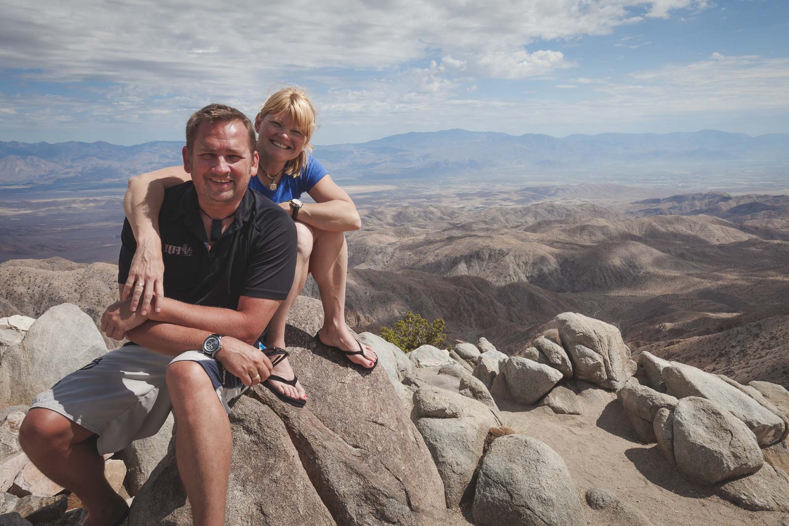
You’ll experience a 1069-foot elevation gain on the Ryan Mountain hike. The start of it is going to feel more difficult as you will be climbing numerous stone steps but on the other hand, they provide good footing. The views are gorgeous along the way and the summit views are awesome. Sunsets and sunrises are also amazing to experience from the top.
You can reach the Ryan Mountain trailhead by taking Park Boulevard about 2 miles east of Keys View Road. There you’ll find the turn-off to get to the trail as well as a parking lot and bathrooms.
Don’t have a car? This Driving Tour of Joshua Tree shows you the highlights of Joshua Tree National Park including the Colorado and Mojave Deserts, Park Visitor Center, Hidden Valley, and Keys View for optional nature walks.
- Trail Length: 3-mile round trip (4.8 km)
- Difficulty Level: Moderate
- Elevation Gain: 1050 feet / 320 meters
Hidden Valley Trail
This is definitely one of the best Joshua Tree hikes for all skill levels. It is a short and sweet trail that’s mighty popular with beginners and experts alike. The Hidden Valley Nature Trail is a 1-mile loop trail with a 114-foot elevation gain.
The Hidden Valley Trailhead is located at the Hidden Valley Picnic Area which is a 20-mile drive from one of the park’s visitor centres, the Oasis Visitor Center. There are picnic tables here if you want to have a snack before you head out.
You’ll be doing a little bit of scrambling over some rocks before you hit the valley floor and get a closer look at the ancient rock formations. There are Joshua trees everywhere making for an incredible desert landscape everywhere you look. Although it is a far shorter hike than others in Joshua Tree National Park, hikers love it for those very landscapes.
This is also a good Joshua Tree trail for families with young kids as it isn’t strenuous but provides views that are out of this world. They’re also all sorts of informative signs along the trail which is great for learning about the geography of the area.
- Trail Length: 1 mile loop trail (1.6 km)
- Difficulty Level: Easy
- Elevation Gain: 114 feet / 341 meters
Warren Peak Trail
This is a stunning Joshua Tree hike that’s going to see you climbing to elevations of more than 5000 feet in the Little San Bernardino Mountains. You can reach the Warren Peak Trailhead from the Black Rock Campground near campsite 30. You also get views from the Black Rock Canyon from here and can access the Black Rock Canyon Trail and Black Rock Spring from there.
There are several junctions before you hit the trail so watch out for the signs that say WP so you reach the path. The Warren Peak Trail is considered a difficult hike because it is a rugged and steep climb but totally worth it.
From the summit, you are going to see Coachella Valley, the Mojave, and also the highest point in Southern California, Mount San Gorgonio. It is a lengthy hike, however, if you’re staying at Black Rock Campground it is the perfect day hike. Remember to book your campsites ahead of time.
- Trail Length:
- Difficulty Level: Difficult
- Elevation Gain: 1150 feet / 350 meters
Skull Rock Nature Trail
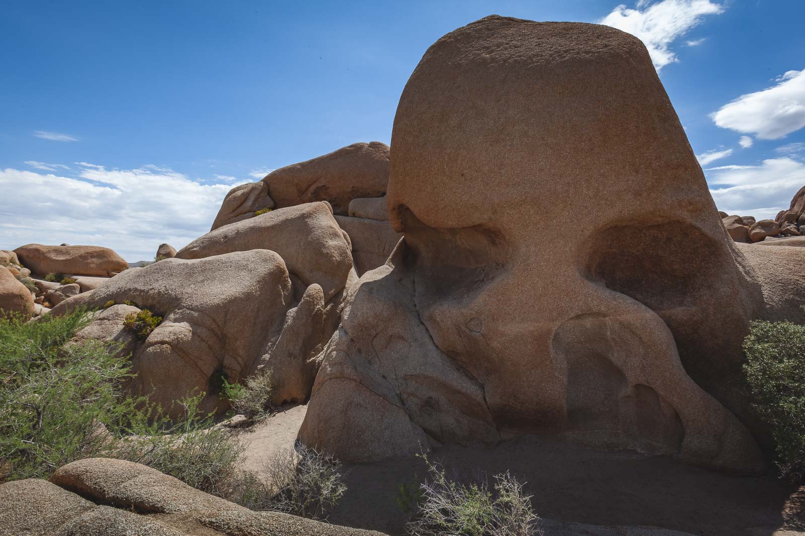
This is a 1.8-mile trail and one of the easiest in Joshua Tree National Park. This trail provides great opportunities for newbie rock climbers. There are awesome rock formations and boulders along this trail that you can climb. Of course, the piece de resistance is the Skull Rock, which in fact does like a giant peach-colored skull.
This is a popular trail so it is best to go early if you like your hikes on the quiet side. The trailhead sits at Jumbo Rocks Campground at the Skull Rock parking area. Along the way, you’re going to see beautiful desert plants like the Mojave Mound Cactus and the Desert Trumpet.
This Joshua Tree trail is a good one for families requiring an easy hike with fun rock formations exploration and climbing along the way.
- Trail Length: 1.8 – mile loop trail (2.9 km)
- Difficulty Level: Easy
- Elevation Gain: 160 feet / 49 meters
Lost Palms Oasis Trail
If you’ve ever hungered for a beautiful night sky without the effects of night pollution, this is one of the best Joshua Tree hikes to see that. The Lost Palms Oasis Trail is a long 7.2-mile hike with a 10.2-foot elevation change. The Lost Palms Oasis trail is considered difficult due to the rock formations scramble you have to do into the oasis at the end of it.
As with many Joshua Tree hikes, you’re not going to find any shade so go early or late to avoid the California heat. Also, regardless of when you go, make sure you’re wearing a hat and sunscreen. The trailhead sits right beside the Cottonwood Visitor Center which is on Cottonwood Springs Road.
- Trail Length: 7.2 – mile loop trail (11.5 km)
- Difficulty Level: Moderate
- Elevation Gain: 1026 feet / 313 meters
Barker Dam Nature Trail
A dam, massive boulders, and 2000-year old petroglyphs are just some of the things you have to look forward to on your trek on the Barker Dam Trail. This is a 1.3-mile hike in Joshua Tree National Park and considered easy.
Hiking Around California this year? You may want to check these out.
You can get to the Barker Dam Trailhead by driving about a mile past Hidden Valley Campground from where you can access the Hidden Valley Trail. You can park at the Barker Dam parking area but get there early as it can fill up fast on weekends. You can also access the trail from the Wonderland of Rocks Trailhead.
The Barker Dam was built in 1900 and named after one of the cattle ranchers who built it. You’re not always going to see water in the dam but chances are greater in the winter and early spring. You’ll continue on past the dam and end up in the cave that houses the ancient petroglyphs.
If you’re lucky, along the way you might just spot some bighorn sheep, squirrels, and rabbits. To extend your adventure you can continue on to Queen Valley Road to the Desert Queen Mine from here.
- Trail Length: 1.3 miles (2.1 km)
- Difficulty Level: Easy
- Elevation Gain: 62 feet / 19 meters
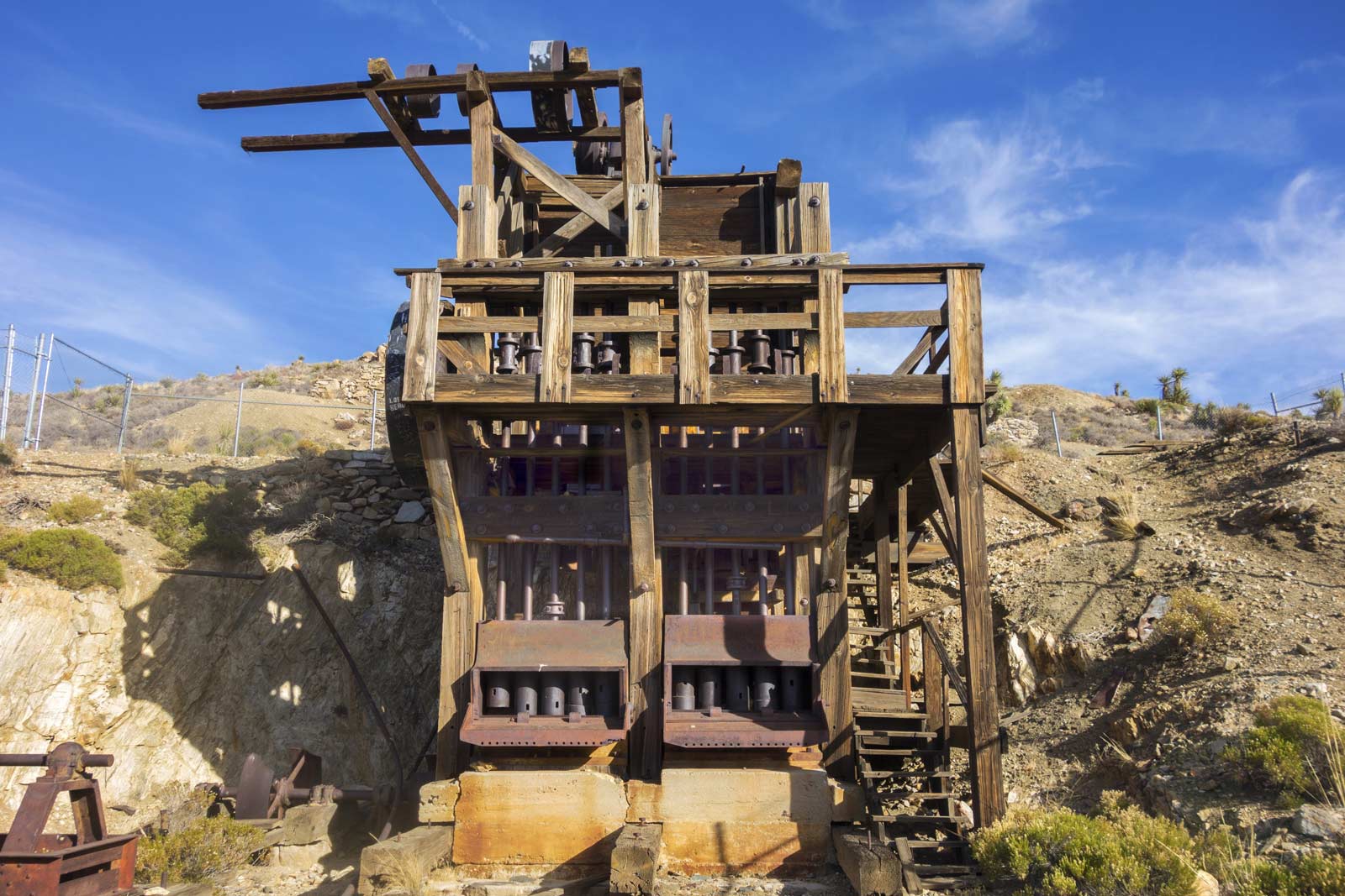
Wall Street Mill Trail
These days the only people in Joshua Tree National Park are visitors but in the 30s the park was crawling with people searching for gold and silver. When these miners found ore, they had to take it somewhere to get extracted. And that’s where the Wall Street Mill in Joshua Tree National Park comes in.
You can see this old mill as well as abandoned era cars when you walk the Wall Street Mill Trail. This is a 2.4-mile out and back hike. The Wall Street Mill Trail is considered an easy and flat hike. You can get to the trail by heading to the Wonderland of Rocks Trailhead. Just remember to go right from the trailhead as going left will send you to the Barker Dam Trail.
- Trail Length: 2.4 miles – Out and Back (3.9 km)
- Difficulty Level: Easy
- Elevation Gain: 89 feet / 27 meters
Cholla Cactus Garden Trail
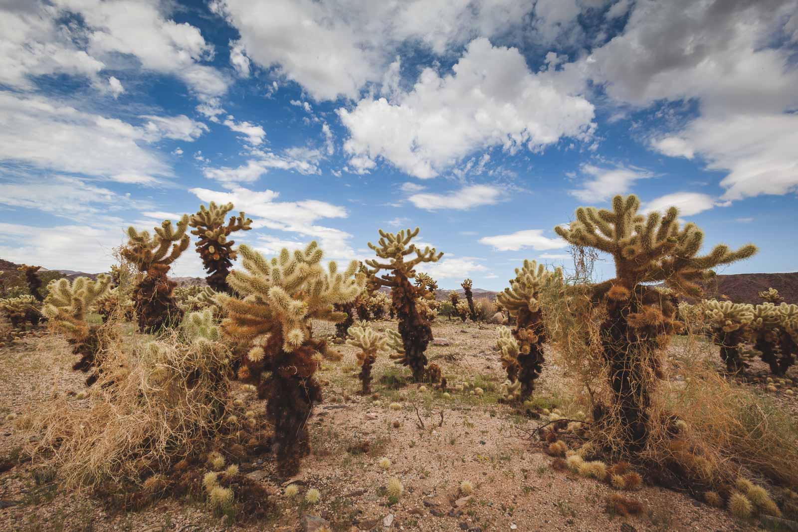
This is one of the best Joshua tree hikes, but not for its exercise value as the Cholla Cactus Garden Trail is not even a quarter-mile long and pretty flat. The reason to take this hike is for the Cholla Cactus landscape alone. There are even some that look like fuzzy teddy bears so if you’ve got little ones, you’re going to want to make sure they don’t get too close.
The Cholla Cactus Garden Trail is a loop and you can get to it on Pinto Basin Road from Park Boulevard. You should note that the White Tank Campground is also located here so it’s a good place to start your trip into the park. There isn’t a ton of parking around, but the hike is short so you won’t have to wait long if there aren’t any spaces for you.
Also, note there is no shade anywhere so it’s best to go very early or late if you are particularly susceptible to heat.
- Trail Length: 0.25 miles / .4 km
- Difficulty Level: Easy
- Elevation Gain: none
Lost Horse Mine Trail
If you want to see a California gold rush era mine, then this is the Joshua Tree Park trail for you. The Lost Horse Mine Trail is a 6.7-mile trail and is considered moderate to difficult so bring your hiking boots. You’ll experience an 882-foot elevation gain with good payback in views of gorgeous flowers scattered over rocky terrain.
You can access the trailhead from the Lost Horse Road parking area. From there you can hike the trail clockwise or counterclockwise depending on whether you want to experience the sandy wash at the beginning or at the end. With the counterclockwise route, you do the sandy washes off the top and can enjoy the flat end.
The Lost Horse Mine site is roughly in the middle of your hike regardless of which way you decide to start with. It’s an incredible sight to see, although it is fenced in and you can’t actually go into it. In its heyday in the 30s, close to 10,000 ounces of gold went through it.
The hiking trail is steep in sections and flat in others, along the way you’ll have beautiful views of Joshua trees dotting the landscape. Definitely do not forget your sun protection because it is going to be hot.
- Trail Length: 6.7 miles – 10.9km
- Difficulty Level: Moderate to Hard
- Elevation Gain: 882 ft
Joshua Tree Boy Scout Trail
This Joshua Tree trail that’s going to put your inner Boy Scout to the test. You have the option to go up to the viewpoint and back for a hike over just 9 miles. Alternatively, you can do the full trail, which is about 16 miles and will require some old-fashioned Boy Scout camping.
You can start your trip at the Indian Cove Campground or go from Park Boulevard to the park’s western entrance to the trail’s parking lot and begin your hike from there. You’ll be hiking across the open desert with Joshua trees as well as all sorts of cacti.
- Trail Length: 9 miles return (14.4 km)
- Difficulty Level: Moderate
- Elevation Gain: 1500 feet / 460 meters
Frequently Asked Questions
What is the best hike in Joshua Tree?
The best hike in Joshua Tree National Park depends on what you are looking for from your trip. When you visit Joshua Tree you have the option of flat Joshua Tree trails like the Cholla Cactus Garden Trail or the Hidden Valley Trail.
For more steep hikes you can do the Ryan Mountain Trail which has more of an elevation. You can also camp at the Ryan campground and make a weekend of it. The Boy Scout Trail is also good for a long hike and camping too.
What should you not miss in Joshua Tree?
You should definitely not miss the Warren Tree Trail at Joshua Tree. This trail gives you amazing views of all of Joshua Tree National Park. From the summit, you can see a lot of Joshua Tree including the Mojave, Coachella Valley, and Mount San Gorgonio.
You should also not miss visiting one of the mines in the national park. Lost Horse Mine, Desert Queen Mine, and Wall Street Mine give you a fantastic glimpse into California’s goldrush era as well as a trip into US history.
Are Joshua Tree hikes hard?
While some of the best Joshua Tree treks can be hard like at Warren Peak but also a lot of easy hikes in Joshua Tree National Park. If you want an easy hike in Joshua Tree with views of unique plant life, go for the Cholla Cactus Garden Trail, Desert Queen trail, or the Bajada Nature Trail.
If you do a hard hike you can always stay at Joshua Tree campgrounds. In order to stay at one of those campgrounds, you’ll need to book ahead or visit a visitors center at the park to get permission.
Which entrance is best for Joshua Tree?
The best entrance for you depends on where you’re traveling from to get to the national park. The south entrance is best if you want to get into the Colorado Desert and are coming from New Mexico or Phoenix. However, you will see few Joshua trees if you enter from here as they are more on the Mojave side.
If you are coming from Palm Springs, Los Angeles, Mount San Jacinto, or San Diego, then the west entrance is good for you as you get quick access to many Joshua Tree trails. And if you are coming from the San Jacinto Mountains, this will allow you to do the Joshua Tree and San Jacinto visits more easily.
It is in Joshua Tree Village where you can pick up supplies before you head out on the national park trails. You’ll also see a ton of Joshua Trees when you use the west entrance. The north entrance is good if you are coming from Las Vegas and it is also a less busy entrance.
Discover More Hiking Trails in the USA
- Badlands National Park: Badlands National Park Hikes And Things To Do
- Yosemite National Park: Things To Do In Yosemite National Park
- Best Hikes in Glacier National Park: 9 Of The Best Glacier National Park Hikes
- Hikes in Zion National Park: 10 Best Hikes In Zion National Park, Utah
- Top Hikes in Yellowstone: 12 Best Hikes In Yellowstone National Park
- Hiking guide California: 15 Best Hikes In California – Inspiration To Get Outdoors
- Rocky Mountain NP Hikes: 15 Best Hikes In Rocky Mountain National Park
- Grand Teton National Park: 15 Best Hikes In Grand Teton National Park
- Bryce Canyon: 12 Bryce Canyon Hikes That Will Blow You Away
What to Pack For Your Day Hike
When planning your hiking trip to Joshua Tree National Park, make sure you are prepared. Conditions can be hot and it is always important to let people know where you will be hiking. Here a few suggestions to keep on hand.
- Hiking day pack
- TETON Hydration Pack – You can either use a hydration bladder like a CamelBack or you can use a backpack with pockets made for water bottles.
- Nalgene Water Bottle – We are fans of this water bottle. It is easy to use with the SteriPen and is good for all beverages.
- Water Bottle Sling – If you are doing shorter hikes, you may not need a huge water bladder or backpack. To carry your water hands free, this sling is a great piece of gear to add to hiking.
- Basic First Aid Kit – Antiseptic wipes, Moleskin, bandages, medical tape, cleansing pads, Knife or multi-tool, rehydration salts, water purification system
- SteriPen – If you plan to do a lot of back country hiking having a water purification system is a good idea. SteriPen uses ultraviolet light to purify water in seconds.
- Hiking boots or shoes
- Bug Spray
- Sunscreen and lip balm