Towering mountains, lush forests, lakes, rivers, and ocean views to die for, the best hikes in Oregon will take you through an eclectic mix of geography.
Sitting in the American Pacific Northwest, Oregon is full of hiking trails and adventure with 361 state parks and 11 national forests. Whether you’re a beginner or a skilled hiker, you’re going to find a trail that’s perfect for you. Oregon proves you don’t have to have a ton of National Parks to compete as one of the most beautiful places in the US. Up next we’re going to tell you about the 12 best hikes in Oregon.
Table of Contents
The Best Hiking Trails in Oregon
Traveling to Oregon? Enjoy these other guides for things to see and do
Get your Free Map of Places to Hike in Oregon
Want a map of all these hikes in Oregon? Enter Your email and it will be sent to you!
One of the things that you will find about hiking in Oregon is that a lot of the trails are quite long and most consist of out and back trails. Our recommendation, especially if you are a novice hiker, is to keep in mind that you don’t have to do the full trail. Many of the hikes have beautiful scenery all along the way.
- Note: Some activities and trails may be affected by COVID-19. Check for closures and restrictions before planning your trip to any national park. Please Check with the PCTA Website for current conditions. Additional details are available at www.nps.gov/coronavirus.
Trail of Ten Falls Trail
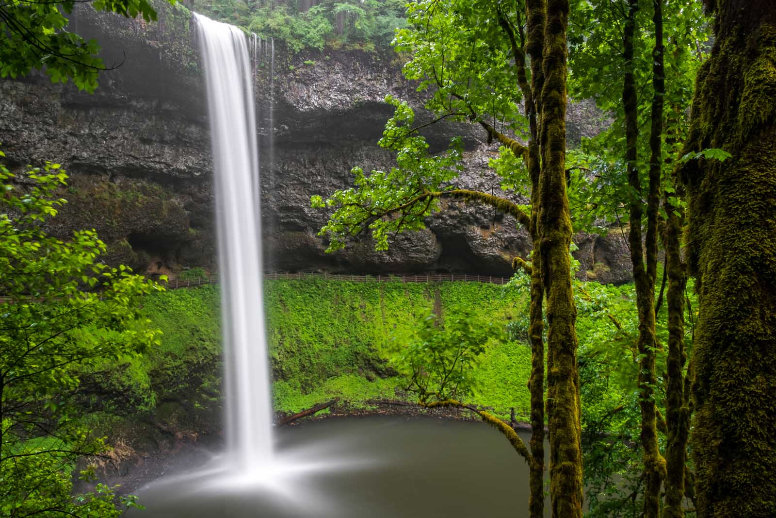
It’s not just a name, you will actually see 10 stunning waterfalls along the route if you do the full hike. The Ten Falls Trail consists of a 6.9-mile loop in Silver Falls State Park. You will experience an elevation gain of 700 feet. The hike begins in the South Falls parking area, which you will find if you enter Silver Falls National Park via the South Falls entrance.
Right off the bat, you get to see the gorgeous Silver Falls Lodge circa 1940 which sits right at the beginning of the trail from South Falls. And right after that, you get to see the gorgeous 177-feet South Falls. And if that wasn’t amazing enough you’re going to continue on find yourself behind the Lower North Falls.
This moderate trail continues like this with waterfalls dotted along the whole way. At one time the falls flowed right into the Columbia River before lava flows changed their direction. For a long time, Silver Falls State Park was a privately-run space where the owner would charge people an entrance to come in and see the falls. But in 1935 that all changed as a redevelopment project was established by the government that replanted the thousands of trees that had been logged so that the area could finally be given national park status as Silver Falls National Park.
- You can book this Silver Falls Hike and Wine Tour for an easy day trip from Portland. Silver Falls in located in the Willamette Valley, one of the most popular wine regions in Oregon where you’ll spend the morning hiking under and around waterfalls along the Trail of 10 Falls. After a picnic lunch you’ll enjoy stops at 2 boutique wineries.
- Distance: 6.9 miles/ 11.9 km
- Elevation Gain: 700ft
- Difficulty: Moderate
- Note: Day-use parking permit required
- Information for trail closures and permits at the Silver Falls Website
Timberline Trail
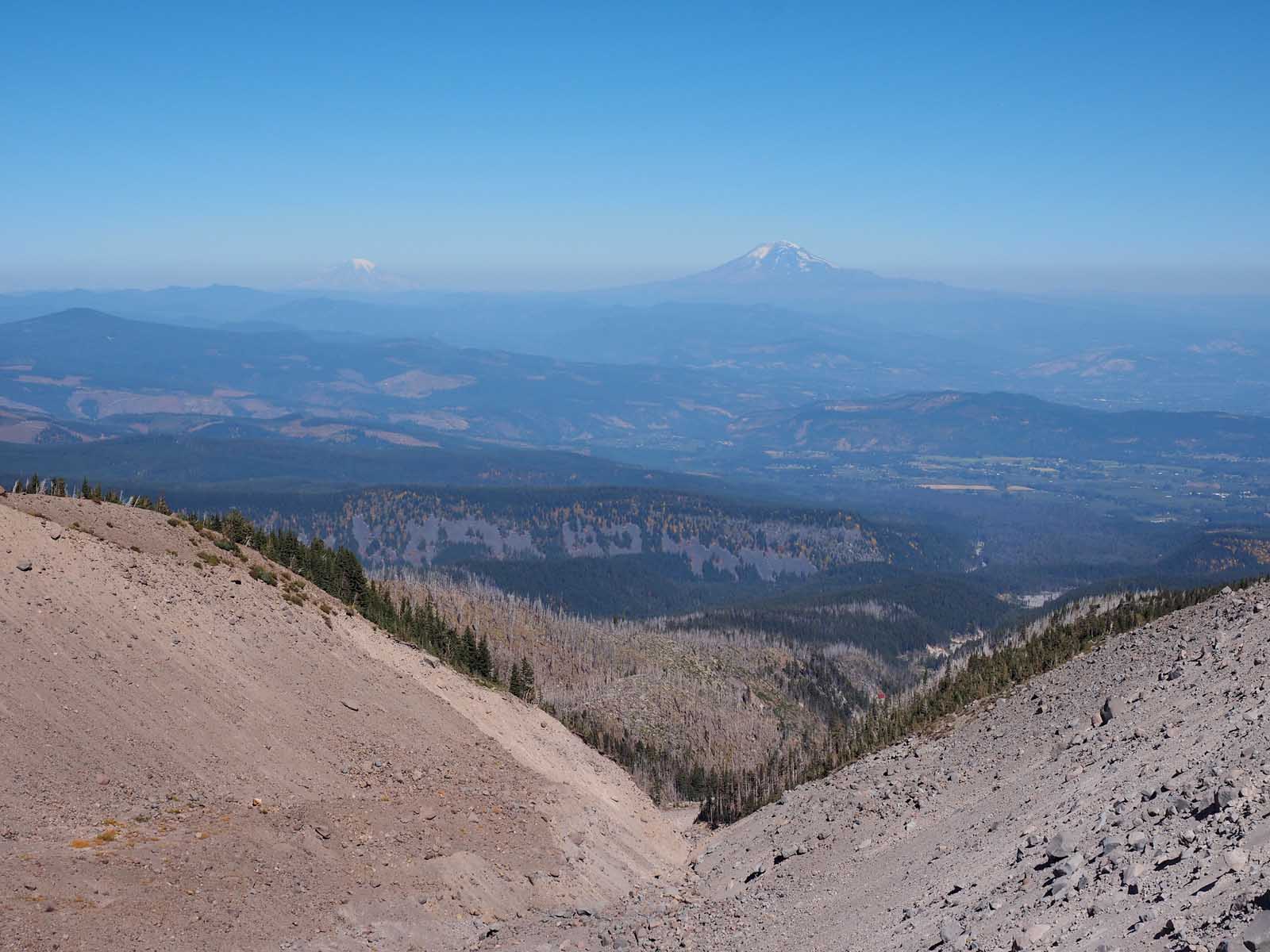
If you’re ready for 4 or 5 days of camping and exploring Oregon’s wilderness, then the Timberline Trail is one of the best nature trips for you. It’s a 44-mile hike through central Oregon, encircling Mt. Hood Forest. You will start your hike off at Timberline Lodge and then travel among Oregon’s most stunning scenery.
You’ll get views of interior peaks like Mount Rainier and Mount St. Helens and Bald Mountain. You’ll see massive waterfalls, rushing rivers, and alpine meadows. There are natural springs along the way where you can actually drink the water if you haven’t brought your own. Book this highly rated adventure tour where you’ll spend a full day crawling, climbing, and hiking with a professional guide through Lava Tubes, up to a Mt. St. Helen’s Viewpoint including the 437-step staircase for views of the surrounding mountains.
Just note that the summer is likely the best time to go as the other seasons bring with them heavy winds, fallen trees, and slippery trails. Of course, if you go in the summer months, the campgrounds can get full. That means you should aim to get to a campground early so you can find a place to stay for the night.
- Distance: 44 miles/ 66.6 km
- Elevation Gain: 10,472ft
- Difficulty: Hard
Castle Canyon Trail
The Castle Canyon Trail is 1.5 miles long and located in the Mount Hood National Forest. The trail seems simple enough off the top going through old forest but then you get a pretty steep hike followed by a rock scramble. So although it’s a relatively short hike, it’s considered a difficult hike.
The elevation change is about 800 feet but then at the end of it you come upon the fairy world rock formations called the Pinnacles, which make the Castle Canyon Trail totally worth the climb. The trailhead is located in Rhododendron at the Henry Creek Road Junction. You’re allowed to bring your dog as long as they are on a leash.
- Make a weekend out of it and stay in Mount Hood to enjoy the outdoors. Mount Hood Resort Condominiums is a highly rated resort offering bike rentals, two restaurants and a pub. Check it out on TripAdvisor
- Distance: 1.5 miles/ 2.4 km
- Elevation Gain: 800ft
- Difficulty: Hard
- Location: Castle Canyon Trailhead in Mount Hood is one hour from Portland
Eagle Creek Trail to Tunnel Falls
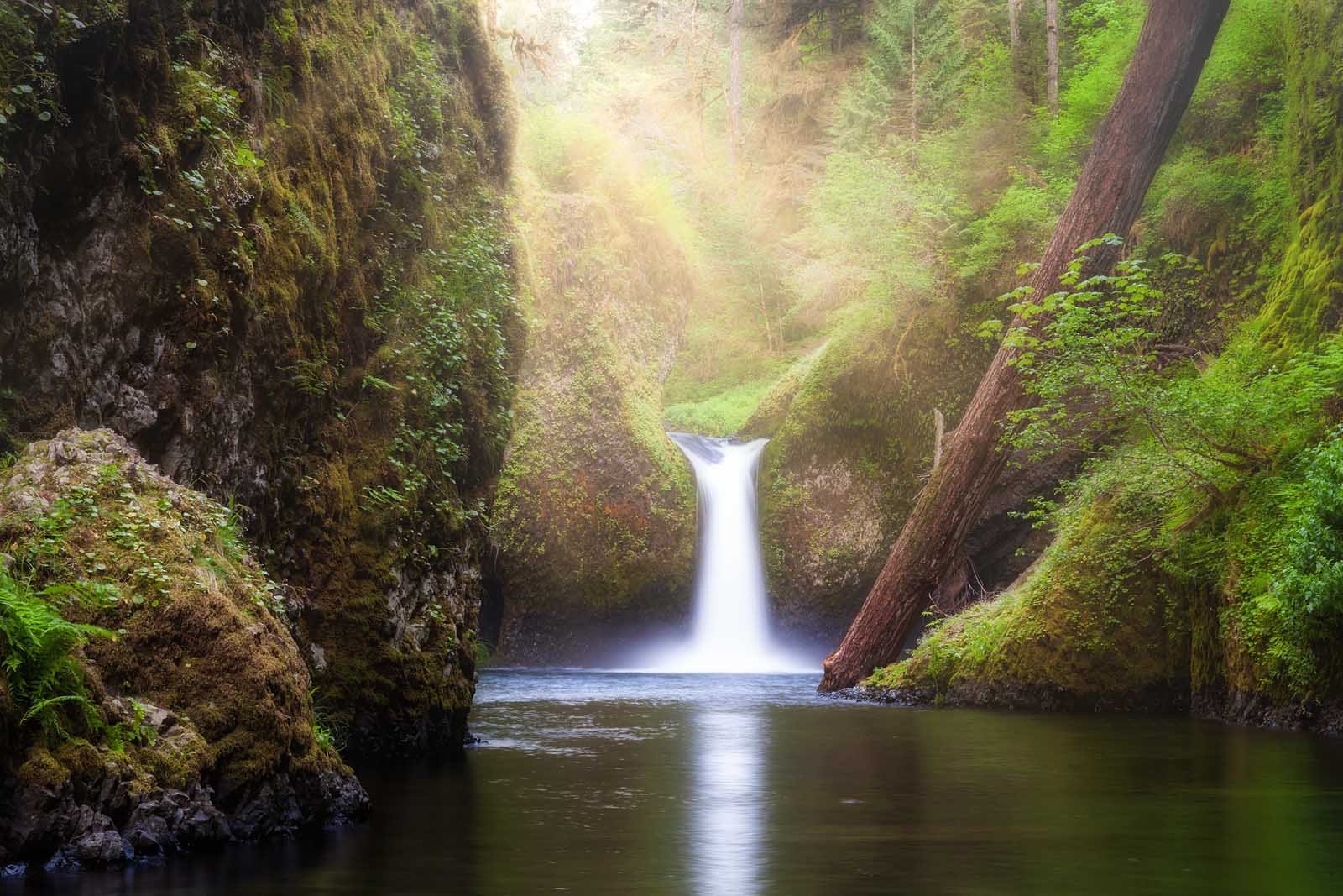
This is one of the best hikes in Oregon for stunning scenery and complete with awe-inspiring gorges. You can find the trailhead at Eagle Creek Campground which is a 40-minute drive from Portland. You might even consider bringing your swimsuit as some of the falls like Punch Bowl Falls might provide a good place for a fun swim.
This can be considered a difficult hike as you’ll be traversing several cliffs with an elevation gain of 6200 feet. You’ll also have river crossings utilizing logs and rocks and all of that makes it not a good hike for children. You should also note that there have been some landslides and the Eagle Creek fire that required closures. So please do your diligence before you head out to find out if the Eagle Creek Trail is open.
** This trail is currently closed indefinitely due to erosion. Please check the PCTA website for details**
- Distance: 12.5 miles/ 20.1 km
- Elevation Gain: 6200ft
- Difficulty: Moderate
Wildwood Trail
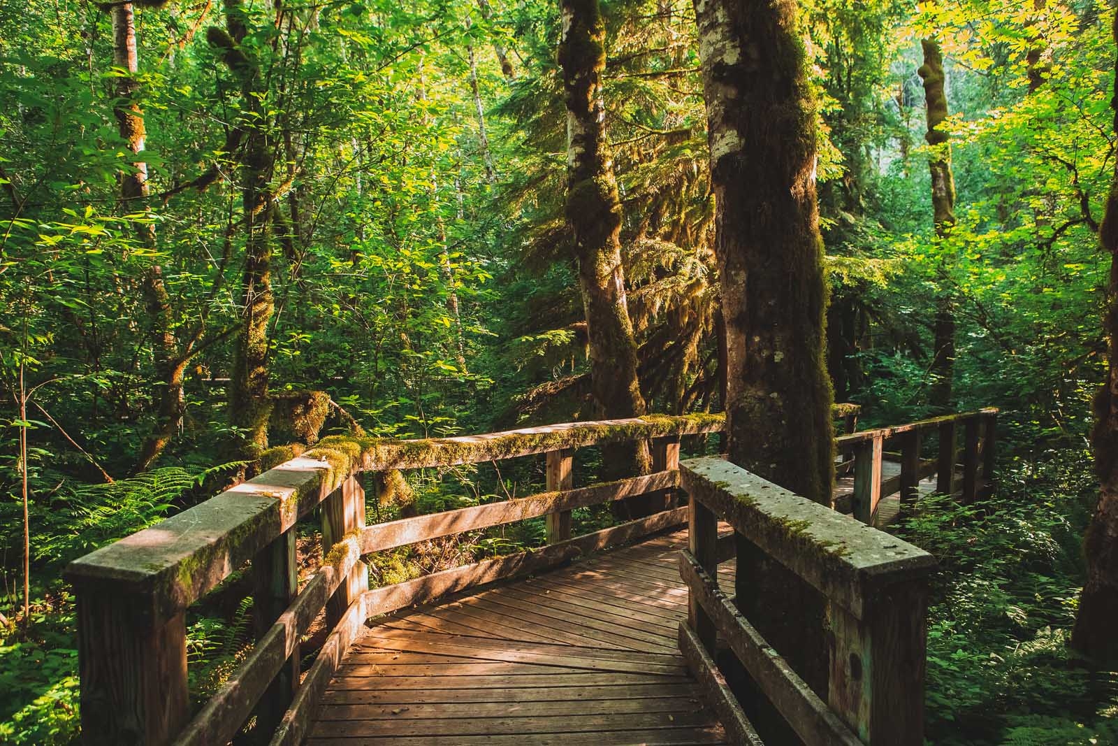
Since the Wildwood Trail is very close to Portland, it is popular and heavily trafficked. However, it is a 30-mile trail so the further you hike in, the more private you’re going to have it. The hike is considered moderate but you will have a 2700-foot elevation gain.
If you’re an experienced hiker, you can do this as a day hike, otherwise, you might want to do just a part of it. You’ll also find poison ivy and stinging nettle along the way so watch out for that. And you’ll also see cute wildlife and birds so watch out for them too by being kind and not feeding them or getting too close.
You can find the trailhead for this Oregon trail at the Newberry Road Trailhead which, of course, sits on Newberry Road and is about a 20-30-minute drive from Portland. You can also access it from near the Oregon Zoo.
- Distance: 30 miles/ 48 km
- Elevation Gain: 2700ft
- Difficulty: Moderate/Hard
Columbia River Gorge Multnomah Falls Trail
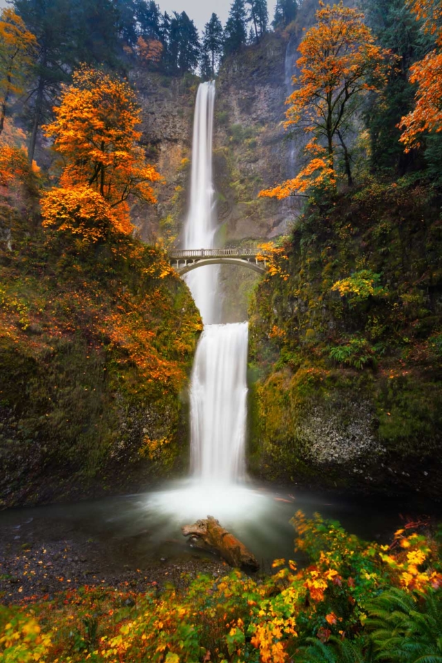
This is a cute 2.5-mile trail and of the best Oregon trails if you want to experience Oregon’s Columbia River Gorge National Scenic Area in a short amount of time. Although it’s short, it is a steep hike with an 800-foot elevation that comes quick.
You can reach the Multnomah Falls trailhead from I-84 to exit 31 to get to the Columbia River Gorge. This Oregon hike can be made even easier if you just want to see the falls as they are just minutes from the parking lot of I-84 but if you go the distance you get to experience beautiful wildflowers and go up to the outlook which gives you lovely views of the area from the top of the falls.
- Distance: 2.5 miles/ 3.9 km
- Elevation Gain: 800ft
- Difficulty: Moderate
- Location:
Crater Lake National Park Cleetwood Cove Trail
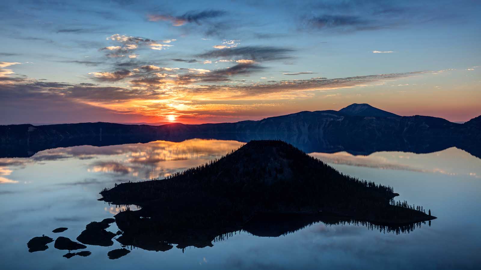
This is a quick hike but a strenuous hike at the same time, however totally worth it. The Cleetwood Cove Trail sits in Crater Lake National Park. You’ll be hiking around Crater Lake, which is the deepest lake in all of the United States. The park is a baby compared to Yosemite as it’s only around 8000 years old, but it isn’t a baby when it comes to stunning views.
You can get those stunning views by hiking the Cleetwood Cove Trail which is considered difficult due to the sudden steep portion in the middle of the hike at an elevation gain of 700 feet. The Cleetwood Cove Trail can be accessed from the East Rim on East Rim Drive at the junction of West Rim Drive and North Entrance Road.
This is one of the few Oregon hikes in Crater Lake National Park that lets you actually get close to the water.
**This Trail is currently closed. Please check with the PCTA for trail openings and closings**
- Distance: 2 miles/ 3.2 km
- Elevation Gain: 700ft
- Difficulty: Moderate
Garfield Peak Trail
For a look at thousands of years of geological history, the Garfield Peak Trail provides one of the best hikes in Oregon. It’s a short trail with just one mile of hiking but when you get to the payoff point you see a stunning view of the surrounding caldera. That caldera is a result of a volcano collapsing thousands of years ago.
That volcanic collapse gave us Crater Lake and ultimately giving us one of the most stunning landscapes in America. You can reach the trailhead from the village in Rim Lake and then heading to the Crater Lake Lodge. That lodge was built in 1915 and is worth a stop-by on its own before heading out on the trail. You’ll get an elevation gain of about 1000 feet on the hike and so it is considered moderate in difficulty.
- Distance: 3.4 miles/ 5.5 km
- Elevation Gain: 1000ft
- Difficulty: Moderate
McKenzie River Trail
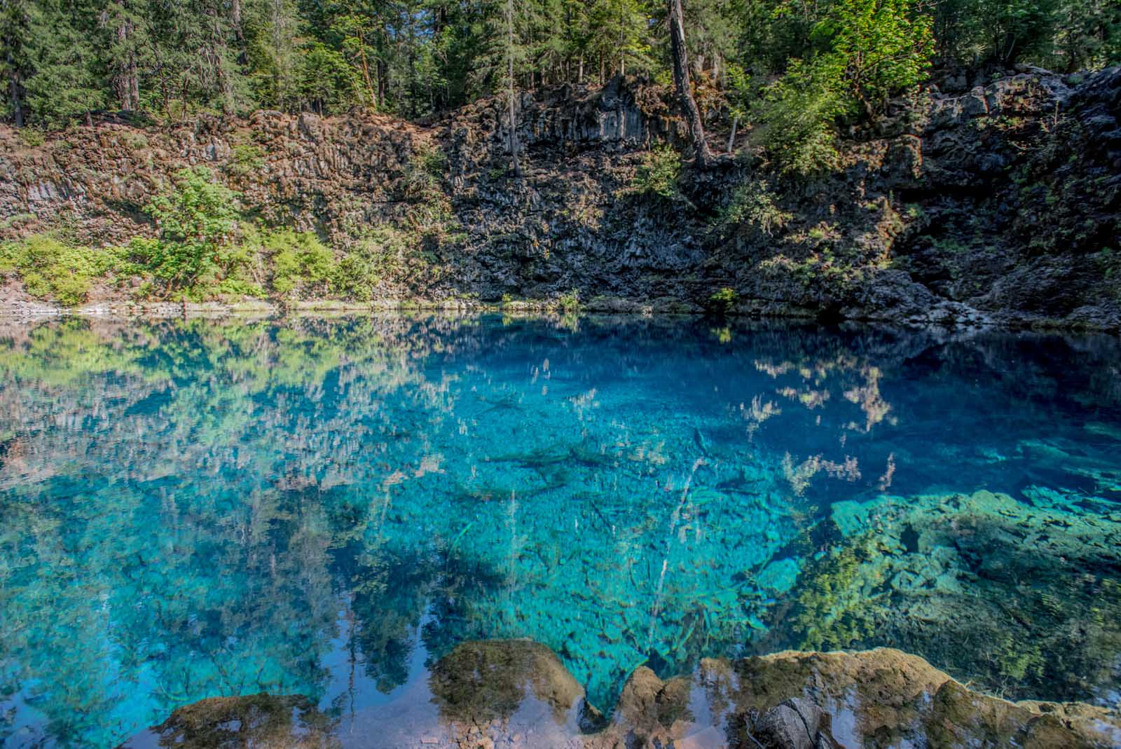
This trail is a favorite of mountain biking enthusiasts and requires great altitude resistance and even when the trail traverses down you’ve got to be on your toes. It is 26 miles long and is also good for hiking in addition to mountain biking. However, if you hike this eastern Oregon trail, you’re probably going to want to camp for at least a night.
You’ll start your hike off at Clear Lake, which is just off Highway 26 and experience the beautiful Blue Pool region, and head south. There are several campsites along the way after you’re 10 miles in. You’ll begin with lava fields and challenging narrow trails and experience the Belknap Hot Springs along the way. This is a good hike for folks that have experience – not a family-friendly hike.
- Distance: 26 miles/ 38.8 km
- Elevation Gain: 798ft
- Difficulty: Moderate/Hard
Smith Rock State Park Misery Ridge Trail
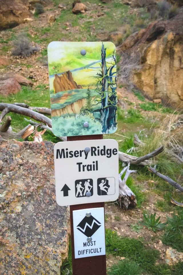
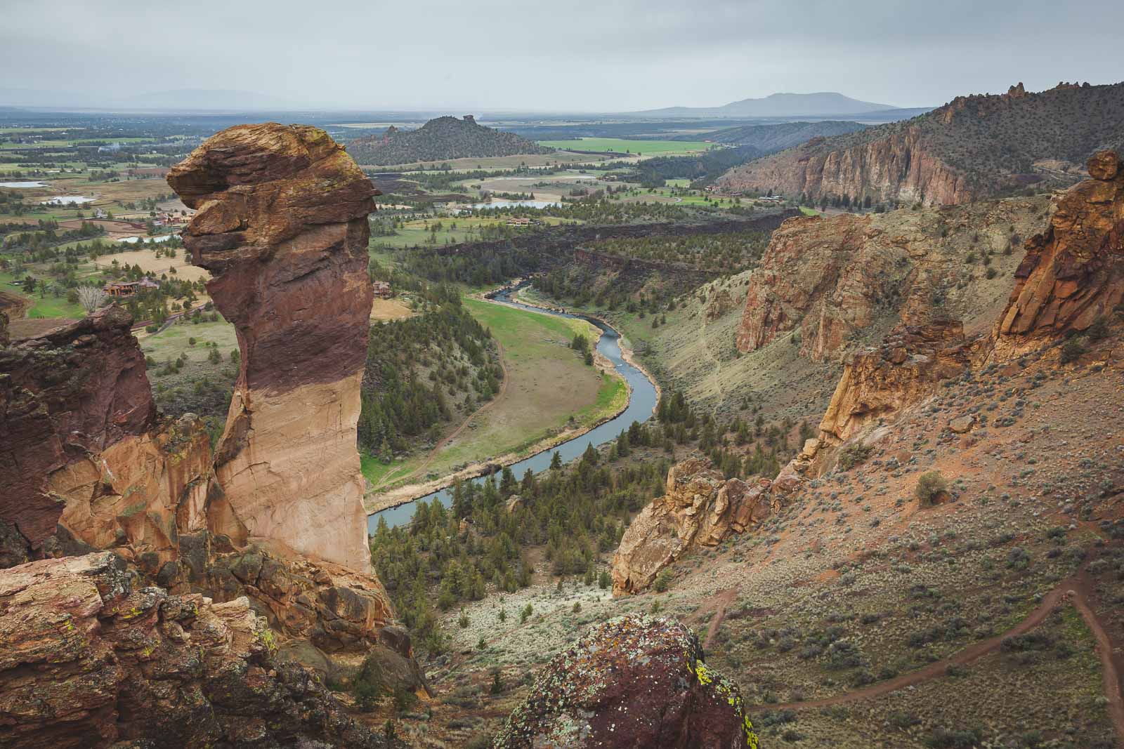
This trail gives you instant satisfaction because the trailhead has stunning views within itself. It’s a 3.5-mile trail that starts off at either the Monkey Face Rock Formation or at the main parking area of Smith Rock State Park.
This is a very popular trail for rock climbing, but you don’t have to be a rock climber to enjoy it. There are definitely some steep climbs, so hiking boots come in handy. Depending on how you like to hike, if you go counterclockwise you will have the steep climb out of the way at the beginning. If you would like to warm up to that part of the trail then hike clockwise. The Misery Ridge Trail is popular so if you want to do a quiet hike you must go early in the morning. This hike also gets extremely hot in the summer so make sure to pack lots of water.
- Distance: 3.5 miles/ 5.6 km
- Elevation Gain: 948ft
- Difficulty: Hard
Bend is a great place to make a base for exploring Smith Rock. Here are two suggested hotels.
- Oxford Hotel– If you are staying in Bend, we loved our accommodations at the The Oxford Hotel located downtown Bend.
- Tethrow Hotel is an award winning hotel located on a golf course. This luxury property is 10 minutes from downtown, 7 minutes from the Old Mill District, and 20 minutes from Mt. Bachelor with shuttle service.
- Plus check out other things to do in Bend, Oregon
Pacific Crest Trail
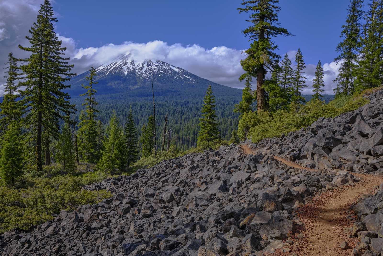
The Pacific Crest Trail runs all the way from Mexico, through the US, and right up until Canada. The portion that’s in Oregon is pretty tame compared to the rest of it and is 460 miles long. There aren’t any massive changes in elevation until you get to Columbia River Gorge where you’ll experience a close to 3200 feet decline in elevation.
The Pacific Crest Trail in Oregon starts from the south end where California ends in Donomore Meadows at the Siskiyou Mountains. You’ll pass through miles of lodgepole pines, views of Crater Lake, the Oregon Cascade Mountains, wildflowers, rivers, wildlife, and a whole lot more. You don’t have to do the entire Pacific Crest Trail, you can join it at any time. Check the PCT Oregon Website for day hikes around Oregon.
Plus you can say you did the Pacific Crest National Trail without having to hike all 4200 km of it. Sure the views in California and the Pacific Northwest in Washington are beautiful and different, but the Oregon part of it is a gorgeous trail that gives you a chance to experience all of its unique topography.
- Distance in Oregon: 460 miles/ 740 km
- Elevation Gain: Various
- Difficulty: Moderate
Oregon Coast Trail
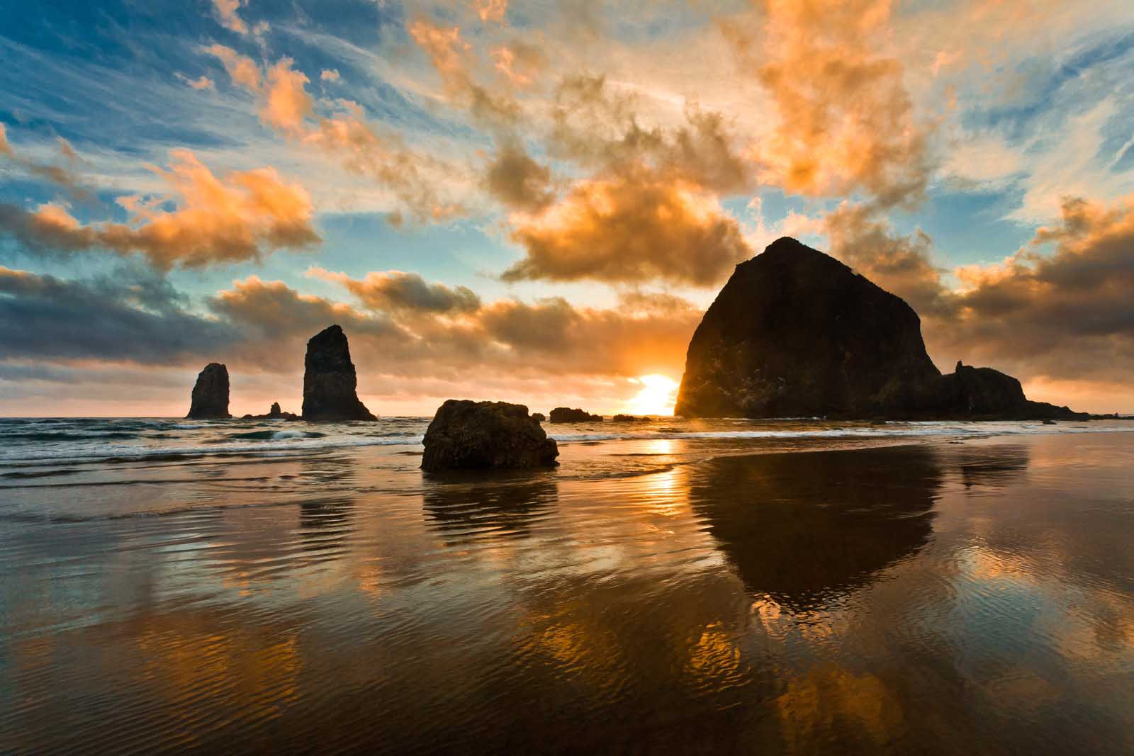
If you love sandy beaches, a rugged coastline, and exploration, then the Oregon Coast Trail is one of the best hiking trails by far. This trail takes you along 363 miles of coastline on the Pacific coast and is one of the best Oregon hikes. It is composed of several trails if you want to divide up your hike, one of the best is in Ecola State Park which takes you just a little inside the coast for amazing cliff views of the Pacific Ocean.
The Oregon Coast Trail starts at the Columbia River south jetty in Fort Stevens State Park. The trail ends at the California border in Crissey Field State Recreation Site.
It is a moderate hike when you compare it to many other Oregon hikes that require your calves to burn for miles. It is loved for the sheer luxury of spending so many days next to coastal waters and beaches while having access to dense forests nearby. You definitely need a few weeks to do it but you can break it up into smaller hiking trails if you don’t want to do the whole thing in one shot.
- Distance: 363 miles / 584 km
- Elevation Gain: various
- Difficulty: Moderate
Just note that camping in the national parks along the Oregon Coast Trail is first-come-first-serve so be prepared to get to the sites early. That will mean that you should start out early every day. Of course, there are roofed accommodations along the way, so that is an option if you have a lazy day.
The Western Snowy Plower bird has its nesting grounds on the Oregon coast so you will need to be careful of that as restrictions are placed on some beaches because of that. That means you can’t have a dog around or do campfires. Yes, there are restrictions, but the Oregon Coast Trail is easily one of the best hikes in Oregon due to your chance to experience so much of Oregon wilderness and the Pacific Ocean all at the same time.
Discover more of Oregon
- Lava Tubes: Exploring The Lava Tubes Of Bend, Oregon
- City of Bend: 26 Fun And Adventurous Things To Do In Bend, Oregon
- Smith Rock: Smith Rock State Park – Misery Ridge Hike
Final Thoughts
Regardless of which hiking trail you choose, you will never be disappointed with the beauty of this state. some people may prefer hiking in California or other US states but I think the diversity of hikes, paired with the coastal landscape makes Oregon one of our favourite places to get out and explore nature.
Frequently Asked Questions
What is a great place to visit in Oregon?
There are a ton of great places to visit in Oregon as the state is full of waterfalls, lava fields, mountains, and rives. If you want to explore the east of Oregon on the Cascade Highway, check out Willamette National Forest. The forest will provide you with an amazing Oregon adventure that includes alpine lakes, rolling hills, and fun in the heart of Mother Nature country.
The Three Sisters Wilderness sits within Willamette National Forest and gives you views of the three sisters who are mountains known as Hope, Faith, and Charity. You will also see the Collier Glacier and the Rock Mesa. You can see epic views of the Three Sisters when you leave Bend City limits on the Cascade Lakes Highway.
What is the hardest trail in Oregon?
Oregon has a lot of difficult trails, the Larch Mountain Trail would stand out on that list. That’s because it’s a 15-mile trail with a lot of steep inclines. If you’ve got your hiking shoes and poles it is not difficult (if you are experienced).
You get multiple summit views as you climb up so totally worth it. Oregon definitely has some difficult trails but they are not the most difficult in the US. Essentially, this isn’t the place you’re coming to break records, it’s a place for stunning scenery and relaxation on the US Pacific coast.
What is an easy hike in Oregon?
The Carrol Rim Trail is just a little over 1.5 miles and gives you an easy trek through the magnificent landscape. You don’t have to bring out your hiking poles and boots but can still experience the beauty of Crater Lake. If you want to do something super easy, you can do a boat tour from the park to Wizard Island.
Once you get off the boat you can hike up the volcanic structure that composes Wizard Island. The views are stunning and we totally recommend them.
Read more About Great Hikes in the United States
- Bryce Canyon: 12 Bryce Canyon Hikes That Will Blow You Away
- Grand Tetons: 15 Best Hikes In Grand Teton National Park
- Hiking California: 15 Best Hikes In California – Inspiration To Get Outdoors
- Yellowstone: 12 Best Hikes In Yellowstone National Park
- Rocky Mountain NP: 15 Best Hikes In Rocky Mountain National Park
- Badlands: Badlands National Park Hikes And Things To Do
- Zion: 10 Best Hikes In Zion National Park, Utah
- Glacier NP: 9 Of The Best Glacier National Park Hikes

Great! Thanks for sharing!